
For some years, viadonau has been publishing electronic inland navigation charts (Inland ENCs) as well as current fairway depths of the shallow sections in the two free flow stretches of the Austrian Danube. With immediate effect, a combined and extended service is available to shipping operators.
Since the publication of the Inland ECDIS Standard 2.4, the depth information can now also be continuously integrated into the electronic inland navigation charts in line with the multibeam soundings of the shallow sections that are published on a monthly basis and made available for navigation directly on board via this channel. The IENC basic charts and the updates can be downloaded from viadonau.
Since mid-December 2019, these service include alsow full images of the two free flow sections of the Austrian Danube. The multibeam surveys of the river bed in the Wachau and in the stretch east of Vienna carried out each spring and autumn by viadonau’s Surveying Department are now available for ship operators to download in PDF format.
The monthly published information on the local shallows in the two free flow sections, together with the newly published overall pictures, provide a complete picture of the morphology of the Danube in the area of the fairway usable by navigation.
www.viadonau.org
Enhanced shallow sections information for Danube logistics
19.12.2019DoRIS is an information and management system for inland navigation on the Austrian Danube operated by viadonau
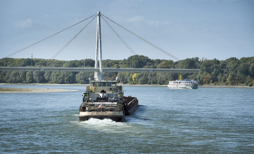 Bild: viadonau, Andi Bruckner